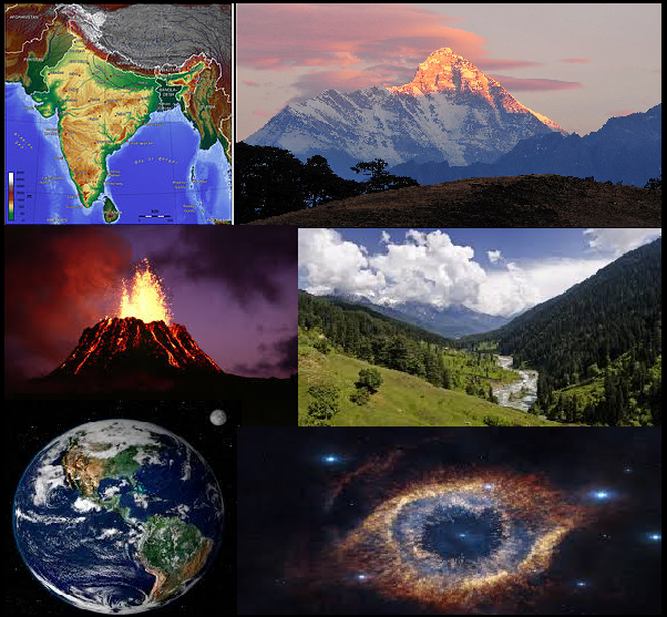
INDIA AT A GLANCE GK
India is one of the oldest civilizations in the world with a kaleidoscopic variety and rich cultural heritage.India has become self-sufficient in agricultural production and is now one of the top industrialized countries in the world and one of the few nations to have gone into outer space to conquer nature for the benefit of the people. It covers an area of 32,87,263 sq. km, extending from the snow-covered Himalayan heights to the tropical rain forests of the south. Bounded by the Great Himalayas in the north, it stretches southwards and at the Tropic of Cancer, tapers off into the Indian Ocean between the Bay of Bengal on the east and the Arabian Sea on the west.
IMPORTANT GEOGRAPHICAL TOPICS INDIA – STATIC GK
| Particulars | Description |
|---|---|
| Location | The Indian peninsula is separated from mainland Asia by the Himalayas. The Country is surrounded by the Bay of Bengal in the east, the Arabian Sea in the west, and the Indian Ocean to the south. |
| Geographic Coordinates | Lying entirely in the Northern Hemisphere, the Country extends between 8° 4′ and 37° 6′ latitudes north of the Equator, and 68° 7′ and 97° 25′ longitudes east of it. |
| Indian Standard Time | GMT + 05:30 |
| Area | 3.3 Million sq. km |
| Telephone Country Code | +91 |
| Border Countries |
|
| Coastline | 7,516.6 km encompassing the mainland, Lakshadweep Islands, and the Andaman & Nicobar Islands. |
| Climate | The climate of India can broadly be classified as a tropical monsoon one. But, in spite of much of the northern part of India lying beyond the tropical zone, the entire country has a tropical climate marked by relatively high temperatures and dry winters. There are four seasons:
|
| Terrain | The mainland comprises of four regions, namely the great mountain zone, plains of the Ganga and the Indus, the desert region, and the southern peninsula. |
| Natural Resources | Coal, iron ore, manganese ore, mica, bauxite, petroleum, titanium ore, chromite, natural gas, magnesite, limestone, arable land, dolomite, barytes, kaolin, gypsum, apatite, phosphorite, steatite, fluorite, etc. |
| Natural Hazards | Monsoon floods, flash floods, earthquakes, droughts, and landslides. |
| Environment – Current Issues | Air pollution control, energy conservation, solid waste management, oil and gas conservation, forest conservation, etc. |
| Environment – International Agreements |
|

